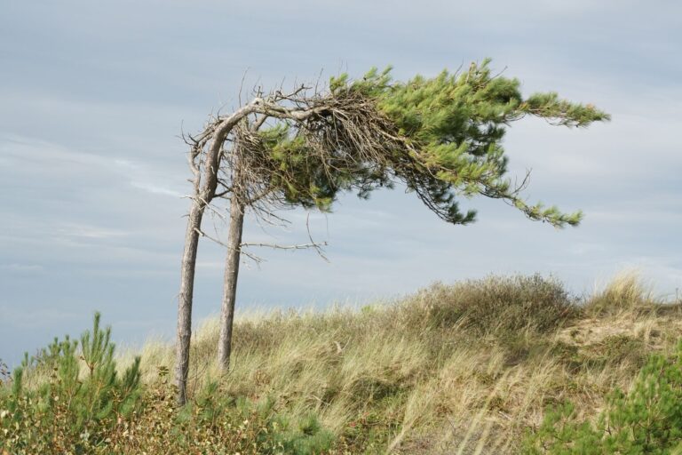
Two storm lows will bring gale-force gusts and heavy rain to large parts of Germany over the weekend – the German Weather Service (DWD) has issued warnings for many regions. On Friday, 23 October, the DWD warns of severe gale-force gusts of up to 100 kilometres per hour for the evening from the Rhineland to Emsland, as the Berliner Zeitung reports.
The wind from the west and south-west will pick up quickly during the day. According to the Berliner Zeitung, gale-force gusts of between 55 and 75 kilometres per hour are expected widely, while on the mountains gale-force gusts and hurricane-force gusts of up to 110 kilometres per hour are possible. According to tagesschau.de, the west and south-west must be the first to brace for gale-force gusts of up to 75 kilometres per hour, while over mountain areas gale-force gusts of up to 110 kilometres per hour may sweep through.
In the evening and the first half of the night the storm reaches its peak. In the western parts of the country gale-force gusts of up to 85 kilometres per hour then threaten, and between the Rhineland and Emsland up to 100 kilometres per hour, as the Berliner Zeitung writes, citing the DWD. Over the open North Sea the gusts are said to reach wind force 10. On the coast the wind comes unusually from the south-east, that is, from inland.
In North Rhine-Westphalia the autumn wind is expected to strengthen into gale-force gusts in the late afternoon, as WDR reports. In the evening the storm low “Luise” rolls on towards Lower Saxony, according to NDR. During the night, wind gusts and gale-force gusts are then also expected in large parts of Lower Saxony, Mecklenburg-Western Pomerania, Hamburg, Bremen and Schleswig-Holstein. The DWD also warns of gale-force gusts on the North Sea, which may expand over the sea into severe gale-force gusts.
Brocken: peaks of up to 150 kilometres per hour expected
In the night to Sunday a second storm low approaches, according to the DWD. According to NDR, the fringes of the storm low “Manja” are then expected to reach northern Germany. On the North Sea coast the “wind maximum” is expected in the night to Monday – with severe gale-force gusts and, in exposed locations, sometimes hurricane-force gusts. On the Mecklenburg Baltic coast too, severe gale-force gusts are not ruled out in individual sections.
Saxony, Saxony-Anhalt and Thuringia must also prepare for stormy times over the weekend. A storm warning also applies to the Brocken: in the night to Sunday the wind there is expected to reach hurricane force with peak values of up to 150 kilometres per hour, as tagesschau.de reports.
In the south-west, individual strong thunderstorms with gale-force gusts of up to 85 kilometres per hour may be added from the afternoon. In the upslope areas of some western low mountain ranges, persistent rain of between 30 and 40 litres per square metre is expected, according to the DWD. In the Alps above 1,200 to 1,500 metres there could be a few centimetres of fresh snow.
Why the storm becomes dangerous with full foliage
Almost every winter storm brings the gusts of this storm – what makes it dangerous is the calendar. At the end of October most deciduous trees still carry their full foliage, and a leafy crown offers the wind many times the surface area to attack, as the Berliner Zeitung explains. The rain of recent days makes the leaves heavy and softens the ground, so the roots lose their hold.
How far-reaching a storm with full foliage can be was shown by hurricane low “Xavier” in October 2017: seven people died, and the railway suspended long-distance traffic in northern Germany for hours. This year drought is added. According to the statistics of wetterprognose-wettervorhersage.de, on which the Berliner Zeitung relies, only around 36 litres of rain per square metre fell nationwide in September.
Because of the expected autumn storms, some shipping companies have already announced restrictions and cancellations, affecting for instance connections to Heligoland, as tagesschau.de reports. The DWD advises keeping doors and windows closed during the storm low and avoiding forests and parks because of the danger of falling branches. Garden furniture, flower pots, bicycles and rubbish bins should be stored safely or secured.
On Saturday the wind eases somewhat, but it remains stormy. In the north-east it continues to rain, while in the west and south the sun shows itself now and then. According to wetter.com, cited by the Berliner Zeitung, maximum values reach only 10 to 13 degrees, after up to 17 degrees on Friday. In the night to Sunday the clocks are also put back to winter time. From Monday the weather calms under high-pressure influence, and for Tuesday up to 21 degrees are possible according to the current state.