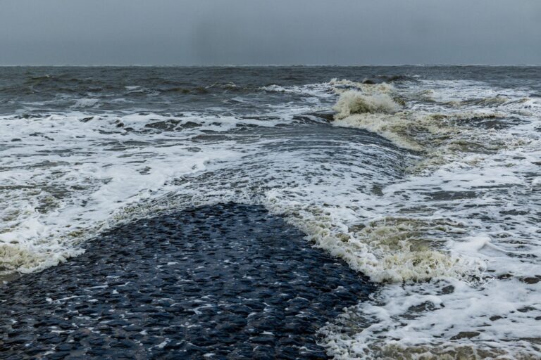
Storm low “Manja” reached Germany on the night of the clock change and is set to strengthen again on Sunday: on the North Sea coast and in the mountains the German Weather Service (DWD) warns of gale-force gusts up to 120 kilometres per hour, and in the Black Forest of persistent rain of a severity likely to cause damage. That is what the Berliner Zeitung reports on Sunday, 25 October.
According to the report, gale gusts of up to 70 km/h were already sweeping across inland areas in the early morning. On the North Sea coast and in mountain areas the wind had already reached full gale to hurricane force of 75 to 120 km/h, according to the DWD, and on the Brocken the values were even higher. On the Baltic coast the weather service reported gale gusts of 70 to 85 km/h.
A short pause, then the second wave
During the course of the day the wind turns to south-west to west and freshens strongly again. On the North Sea coast and at higher altitudes severe gale gusts up to hurricane-force gusts of 100 to 120 km/h then threaten. In the rest of the country, for example in Berlin, Hanover or Frankfurt, the DWD expects gusts of up to 70 km/h in many places, and up to 85 km/h in isolated cases. On top of that come brief sleet thunderstorms in the north and in isolated spots in the middle of the country, on the North Sea coast with wind force 10 to 11.
By the evening the core of “Manja” will pass close by Scotland heading towards southern Norway, brushing Germany across its full breadth with its storm field. According to the Berliner Zeitung, only the south-east will be largely spared this Sunday. The wind is not expected to ease until the night to Monday, but it will remain stormy on the coasts and in the higher mountain areas. For Monday the meteorologists expect a marked calming.
Earlier, the DWD had issued an official warning of gale gusts and severe gale gusts for Sunday morning for larger areas in the north, the centre, the west and the south-west, as zdfheute.de reports. According to that, the wind can reach up to 90 km/h above 600 metres, severe gale gusts of around 100 km/h are possible in exposed locations, and up to 70 km/h in lower areas. At such speeds branches can break off and objects fly around; furniture that is not tied down should be secured and covers fastened. On the North Sea coast and at higher altitudes, severe gales up to hurricane-force gusts or hurricane gusts are to be expected over the further course of the day.
Fichtelberg in focus, rain in the south-west
For Saxony the DWD warns of gale gusts on Sunday morning. The front system of a storm low off the Norwegian coast crosses the free state on Sunday from west to east, as dresden.t-online.de reports. In the lowlands the weather service expects wind gusts of between 50 and 70 km/h, locally up to 85 km/h. According to the report, the Fichtelberg is hit hardest: severe gale gusts of around 100 km/h are possible there, and until the morning also isolated hurricane-force gusts of around 110 km/h. Over the course of the day the wind eases; in the night to Monday and on Monday only isolated wind gusts are to be expected, with gale gusts continuing on the Fichtelberg. Temperatures reach 12 to 14 degrees, and 6 to 12 degrees in the mountain areas.
In the south the rain is the bigger problem. In the windward slopes of the western, central and southern low mountain ranges and in the Allgäu, 30 to 50 litres per square metre fell from the night into Sunday, and in the Black Forest in individual locations around 70 litres within 24 hours – which means the rain there reaches a level likely to cause damage. Small streams can quickly burst their banks; the models of the meteorological centre show 25 to 40 litres widely within just twelve hours.
Rail, ferries and folk festivals affected
“Manja” hits a country that has not yet recovered from the first autumn storm. “Luise” had raged on Friday, especially in the west and south-west. In Nastätten in Rhineland-Palatinate a gust knocked over a scaffolding next to an October market, and two people were seriously injured, as inFranken.de reports, citing dpa. Near Aachen an ICE train with 280 passengers came to a standstill, and in Saarland the police turned out 59 times because of storm damage by Friday evening.
In North Rhine-Westphalia, larger damage failed to materialise after “Manja” passed through during the night, as WDR reports. The strongest gusts were measured from the Sauerland to Ostwestfalen-Lippe: up to 87 km/h at the Arnsberg-Müschede weather station, and up to 83 km/h in Soest. Within twelve hours up to 40 litres per square metre fell in some parts of the state, 41 litres in Monschau, 29 in Schleiden and 25 in Wipperfürth. In the morning, according to zuginfo.nrw, ten railway lines could not be operated to schedule, often because of uprooted trees; some of the disruptions were still connected with “Luise”. In Gelsenkirchen city centre, large polystyrene panels had come loose from a house roof on Saturday evening, and the police closed a section of Bahnhofstraße until the morning.
On the coast the Federal Maritime and Hydrographic Agency expects significantly raised water levels until Monday; in Hamburg the lower-lying part of the Fischmarkt could be flooded. The Halunder Jet to Helgoland is not running on Sunday, and the Halligen will not be served on Sunday and Monday, as the Berliner Zeitung reports, citing ms-aktuell. According to t-online.de, ferry traffic to the East Frisian islands of Juist and Norderney could also be suspended on Sunday as things stand.
Inland, the cities are reacting: Cologne and Aachen advise avoiding forests, parks, cemeteries and avenues, and in Erfurt the cemeteries remain closed all weekend. In Bremen a second DWD storm warning applies for Sunday from 10:00 to 18:00, as the Weser-Kurier reports. Whether the Freimarkt can stay open is ultimately decided by the competent authority. “But at present there are no signs that there will be restrictions,” says Susanne Keuneke, chair of the Association of Showmen and Market Traders Bremen. “We are still relaxed about it at the moment.” The rain worries her more.
From Monday, according to the current models, sun and clouds will alternate, with only some rain still falling in the north, and it will become noticeably milder. No new storm low is in sight for the time being. Anyone who has to go out on Sunday should check the official warnings for their own district before going for a walk – forest paths, parks and avenues are not a good idea in this wind.